The near-surface instrumental temperature record began with the Central England Temperature (CET) record in 1659, which roughly coincided with the trough of the Little Ice Age. The application of temperature measuring instruments spread over the following 200 years, leading to the collection of a “global” temperature record. However, even today, this “global” temperature record involves sparse and uneven coverage in much of the southern hemisphere and over the global oceans. The satellite era has offered the opportunity to greatly expand the scope and coverage of climate observation.
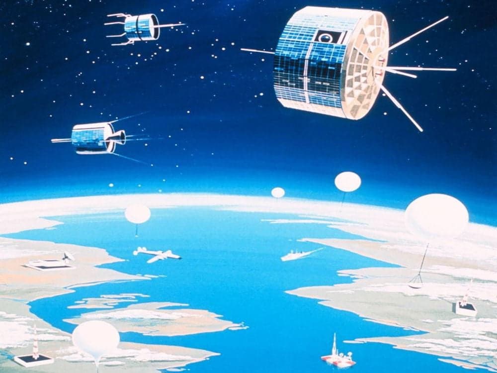
Satellites were first used to measure the temperature of the earth’s troposphere beginning in 1979. The satellites are equipped with carefully calibrated platinum resistance temperature devices (RTDs). Their calibration is confirmed regularly by comparing the sensor readings with readings taken from balloon-borne radiosondes. The original Microwave Sounding Units (MSUs) have been replaced by more advanced units as newer satellites have been developed and launched. While these satellite-borne instruments do not measure near-surface temperatures, they do measure the atmosphere in which infrared absorption by atmospheric gases and vapors occurs. The atmospheric response to absorption and reflection of incoming and outgoing infrared radiation are the primary influences on the near-surface temperature of the earth.
Satellites were first used to measure sea surface temperatures beginning in the 1980s. Prior to the satellite era, sea surface temperatures were measured by near-shore sensors, ship-borne sensors and floating buoys. While these earlier measurement approaches are still in use, the satellites provide far greater and more consistent coverage. The satellites use both infrared and microwave radiometers to measure sea surface temperatures. The satellites sensor readings are regularly compared to readings taken by selected buoy-borne sensors. More recently, the ARGO buoys have made it possible to measure ocean temperatures at depth, providing additional information unavailable from any of the previous ocean temperature measurement approaches.
Satellites are now also being used to measure sea level rise over the entire surface of the global oceans, beginning in the 1990s. Until the satellite era, sea level measurement was limited to shore-based measuring stations (tide gauges), some of which have been measuring sea level since the late 1800s. The satellite measurements of sea level rise are approximately twice the measurements reported by tide gauges. There is currently no explanation for this discrepancy.
More recently, satellites are being used to measure the greening of the earth. A recent report by NASA states that the earth has been “greening” over the last 35 years, largely as the result of the increased atmospheric CO2 concentration. The increased CO2 not only increases plant growth, but also increases plant water use efficiency. This result confirms the results of previous studies of more limited regions.
Finally, satellites are now being used to track the emissions and dispersion of CO2 in the atmosphere. These CO2 visualizations clearly demonstrate that, while CO2 might eventually become a “well mixed trace gas”, it is initially concentrated downwind of its emissions sources, primarily in the northern hemisphere.
The enthusiasm of the climate science community for the far more comprehensive data available from the satellites has been predictably uneven. The climate science community has remained focused on the gap-laden, error-prone, multiply-“adjusted”, UHI-corrupted near surface temperature anomaly records while virtually ignoring the satellite temperature anomaly records, which have recorded more limited anomalies. The climate science community has also focused on the buoy and ship-collected sea surface temperature anomalies, to the virtual exclusion of the satellite SST anomaly records.
On the other hand, the climate science community appears to prefer the satellite sea level rise data, which shows rates of sea level rise approximately double the rates measured by traditional tidal gauges. These satellite sea level rise data are more consistent with the sea level rise concerns put forward by the UNFCCC with support from the climate science community. However, even the satellite sea level rise records do not support the “increasing rate of sea level rise” meme put forward by the IPCC.
The climate science community has yet to provide any strong indication of its acceptance of the satellite-measured greening of the planet. Certainly, all other things being equal, a general “greening” of the planet would be expected as the result of increased atmospheric CO2. However, the climate catastrophe meme would suggest that the CO2 benefits would be offset by drought or flooding.
Similarly, the climate science community has yet to provide any strong indication of its reaction to the CO2 concentration visualizations provided by the NASA Orbiting Carbon Observatory.
The satellite era has provided multiple tools for collecting comprehensive global data with potential application to the analysis of climate and climate change. It is crucial that this data be collected diligently, analyzed objectively and reported openly, to maximize the advancement of climate science.
Science must inform policy, rather than policy leading science.